
Routes
Hand-picked motorcycle routes across the United States — verified, distance-checked, and ready to ride. From Deals Gap to the Pacific Coast Highway.

Tail of the Dragon
North Carolina · US 129
The most famous motorcycle road in the US. 318 curves in 11 miles between Deals Gap NC and Tabcat Bridge TN. Nothing else quite like it — mandatory pilgrimage for any serious rider.
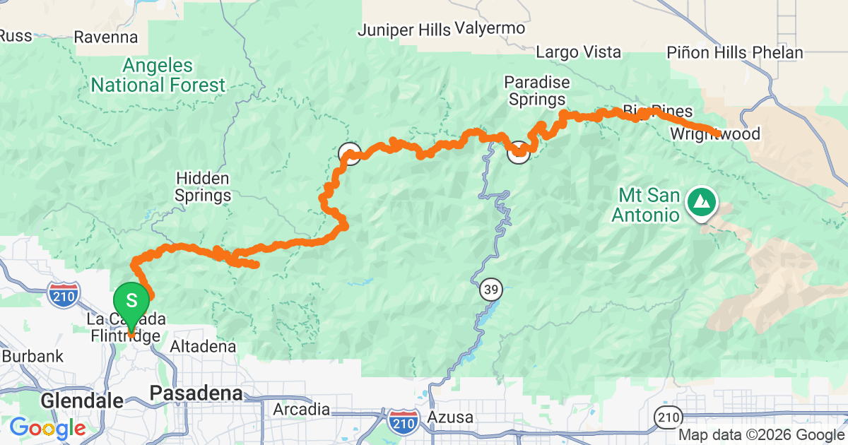
Angeles Crest Highway
California · CA-2
LA's local mountain road. 66 miles from La Cañada to Wrightwood through the San Gabriel Mountains. Legendary among SoCal sport riders — perfect asphalt, endless corners, and closed to trucks.
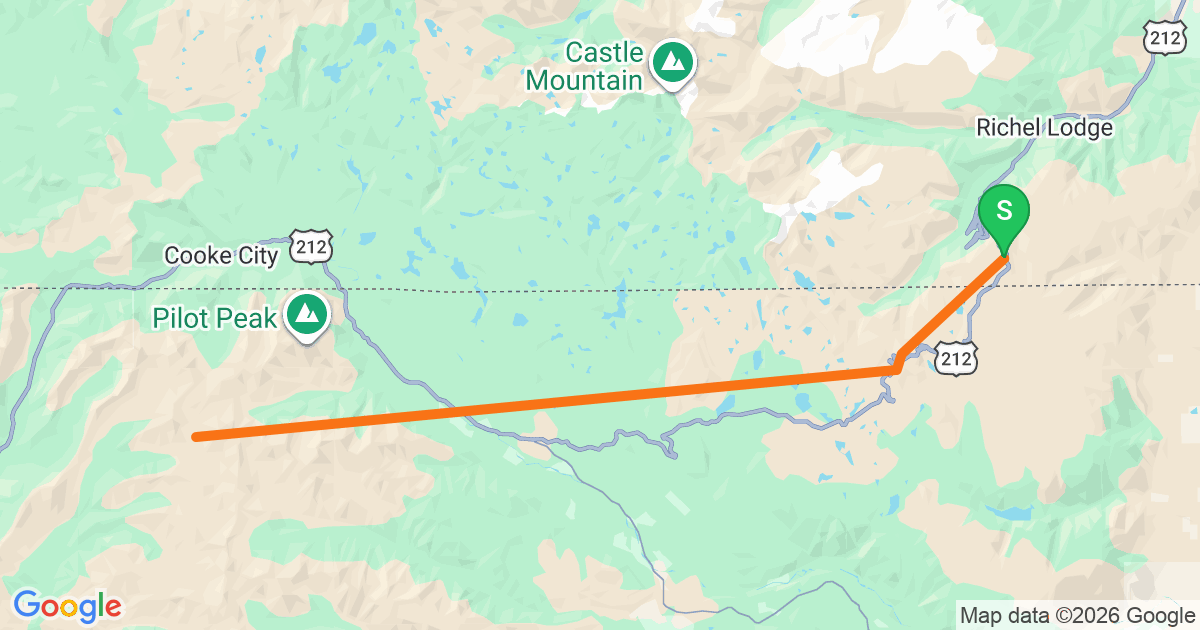
Beartooth Pass
Montana / Wyoming · US 212
Charles Kuralt called it 'the most beautiful drive in America.' Peaks at 10,947 ft with switchbacks stacked like ribbon on the shoulder of the Beartooth Plateau. Only open Memorial Day through mid-October.
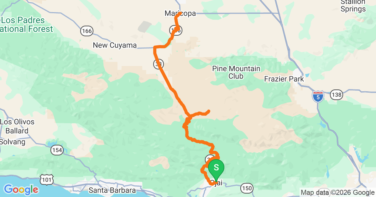
Highway 33 — Ojai to Maricopa
California · CA-33
Called 'the Little Dragon of the West.' 75 miles from Ojai through Los Padres National Forest to Maricopa. Twisty, empty, and about 30 minutes from LA — a Sunday-morning classic.

Deals Gap Loop
Tennessee / North Carolina
The 'Cherohala + Dragon + Foothills Parkway' loop from the Deals Gap Motorcycle Resort. ~140 miles of legendary Appalachian riding in one day. THE classic Southeast biker weekend.
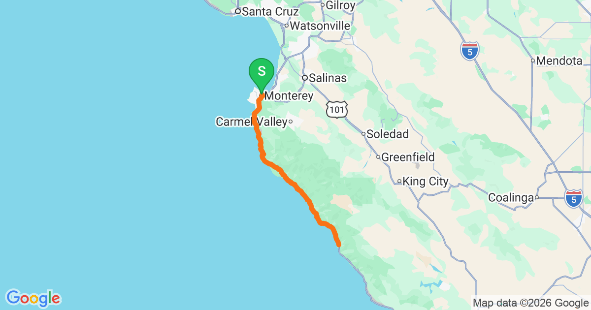
Pacific Coast Highway — Big Sur
California · CA-1
The most photographed 90 miles of road in America. Ocean cliffs on one side, redwoods on the other, Bixby Bridge in the middle. Weather-dependent — plan for coastal fog.
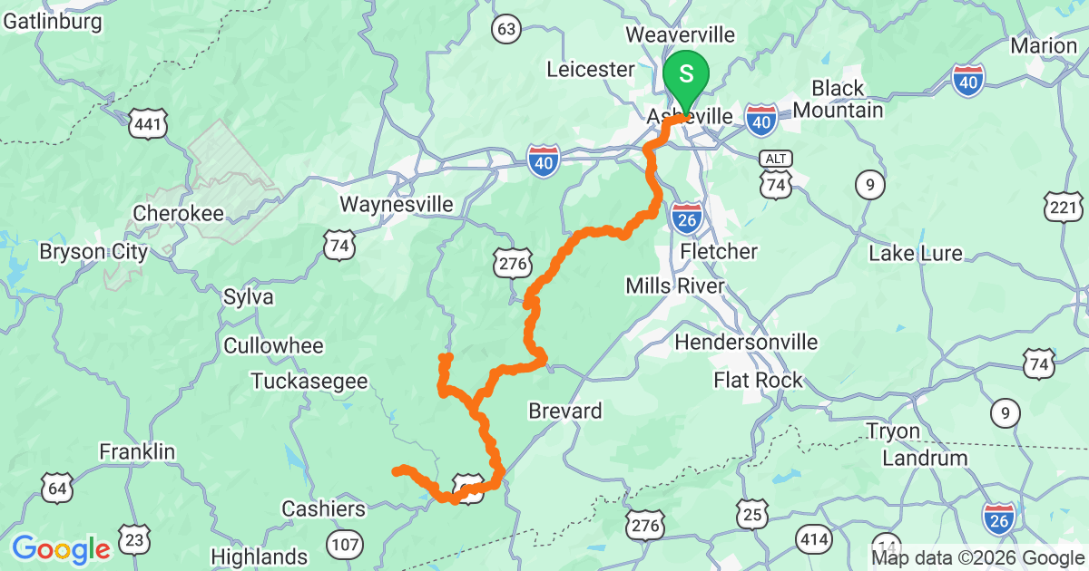
Blue Ridge Parkway South
North Carolina · Asheville
The most iconic section of the 469-mile Blue Ridge Parkway. Sweeping bends, no commercial traffic, 45mph limit that flows perfectly on a bike. Mount Pisgah and Craggy Gardens on the way.
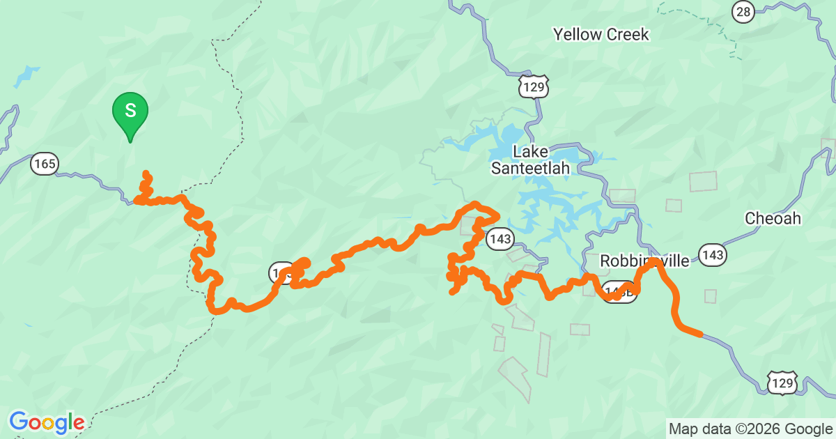
Cherohala Skyway
Tennessee / North Carolina
43 miles of quiet, top-of-the-world riding through the Cherokee and Nantahala National Forests. Less famous than Dragon but arguably a better road — long sweeping bends, no side traffic.
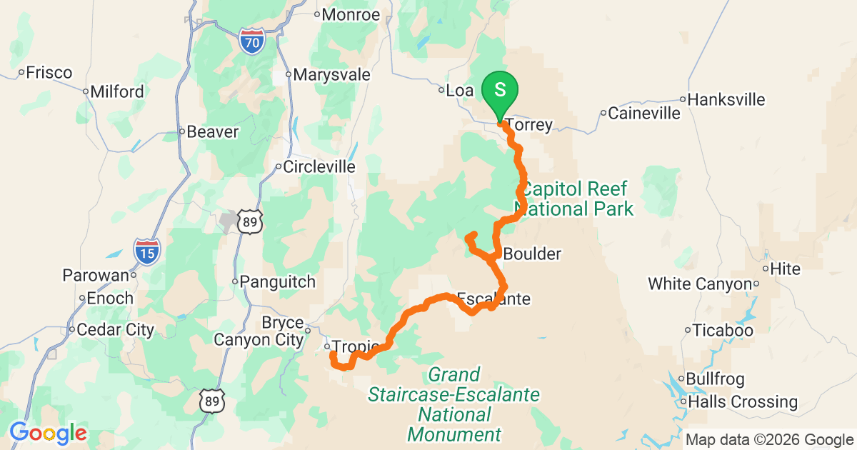
Utah Highway 12
Utah · Scenic Byway 12
124 miles from Torrey to Cannonville, cutting through Grand Staircase-Escalante and Capitol Reef. Red rock, hoodoos, and the 'Hogback' — a 3-mile ridge with sheer drops on both sides. Otherworldly.
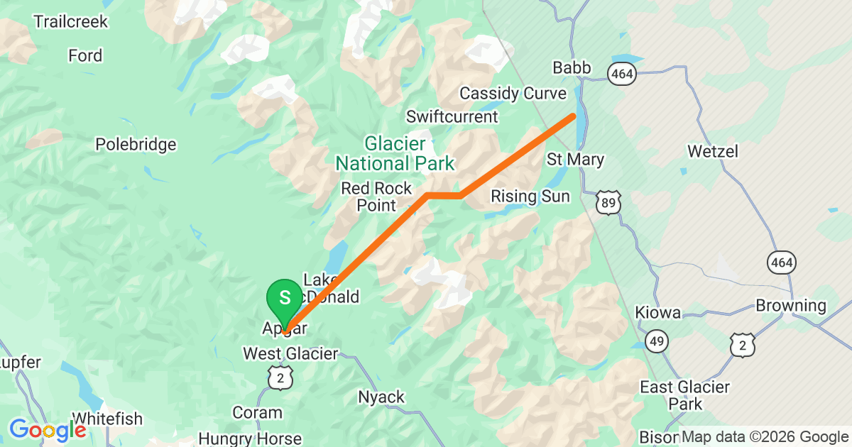
Going-to-the-Sun Road
Montana · Glacier NP
50 miles across Glacier National Park. Crosses the Continental Divide at Logan Pass (6,646 ft). Only open early July to mid-September — the rest of the year it's under 30+ feet of snow.
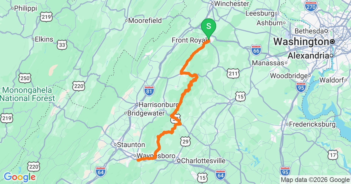
Skyline Drive — Shenandoah
Virginia · Shenandoah NP
105 miles of ridgetop cruising through Shenandoah National Park. 75 overlooks, 35mph speed limit, no trucks. Best in late October when the foliage is at peak.
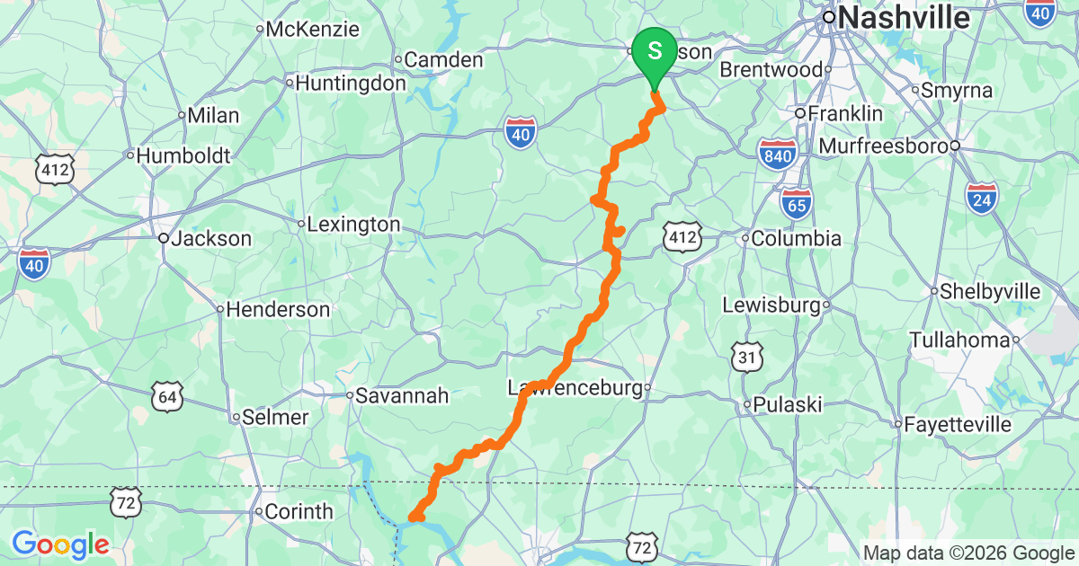
Natchez Trace — Northern
Tennessee / Alabama · MS-NT
The Northern 100 miles of the 444-mile Natchez Trace Parkway. Zero commercial traffic, 50mph limit, ancient forest riding. Great for a mellow weekend from Nashville.